There are three Net Smelter Royalty agreements over 125 ha of land within this property that combine to total 12%. Klondike Reef Mines Ltd, a subsidiary of the Company, holds 10% while the other 2% is split among two individuals, with an option to purchase 1% back for $500,000.
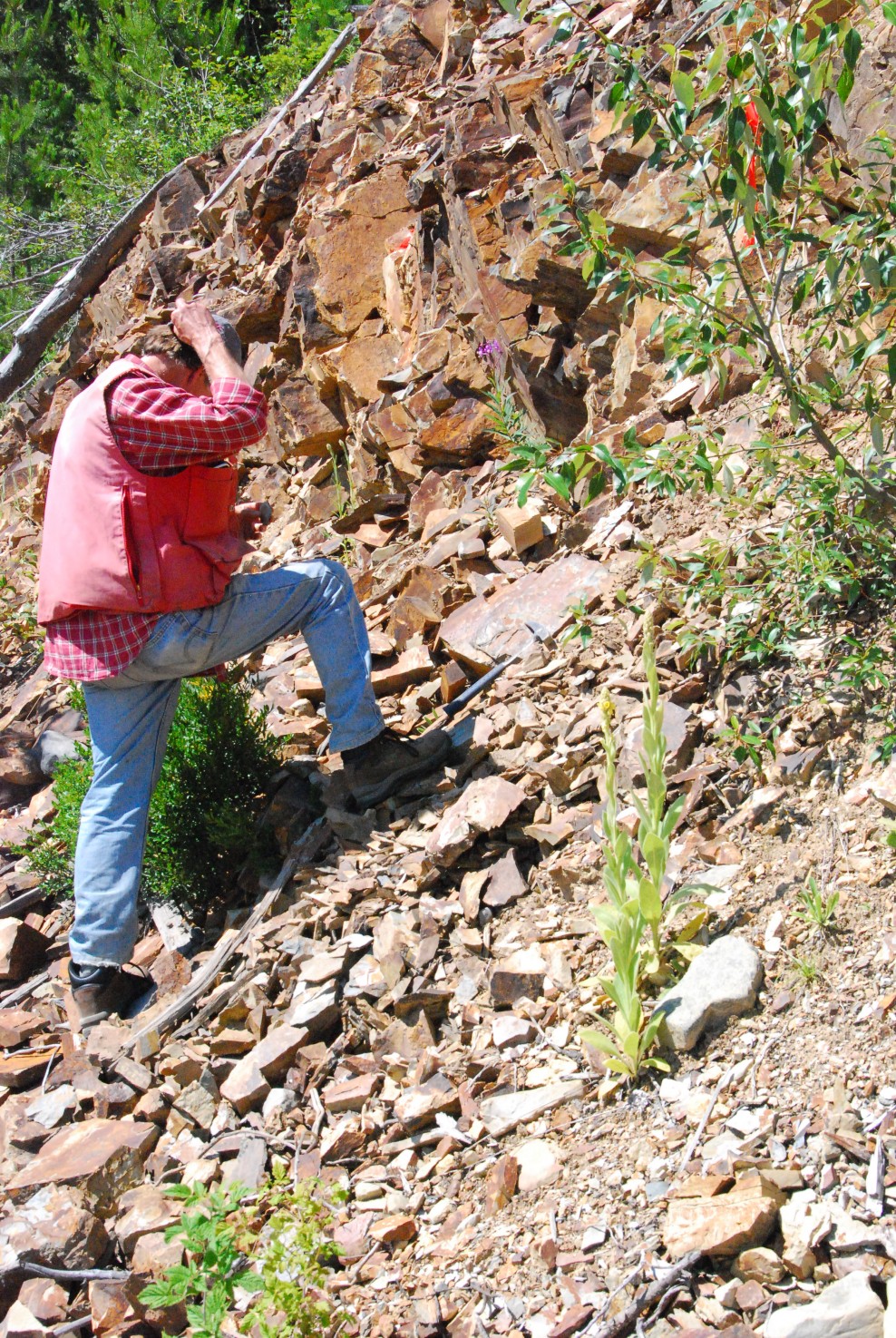
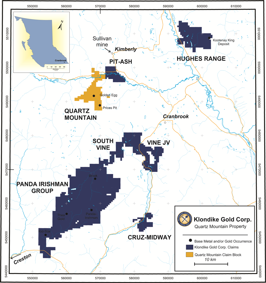
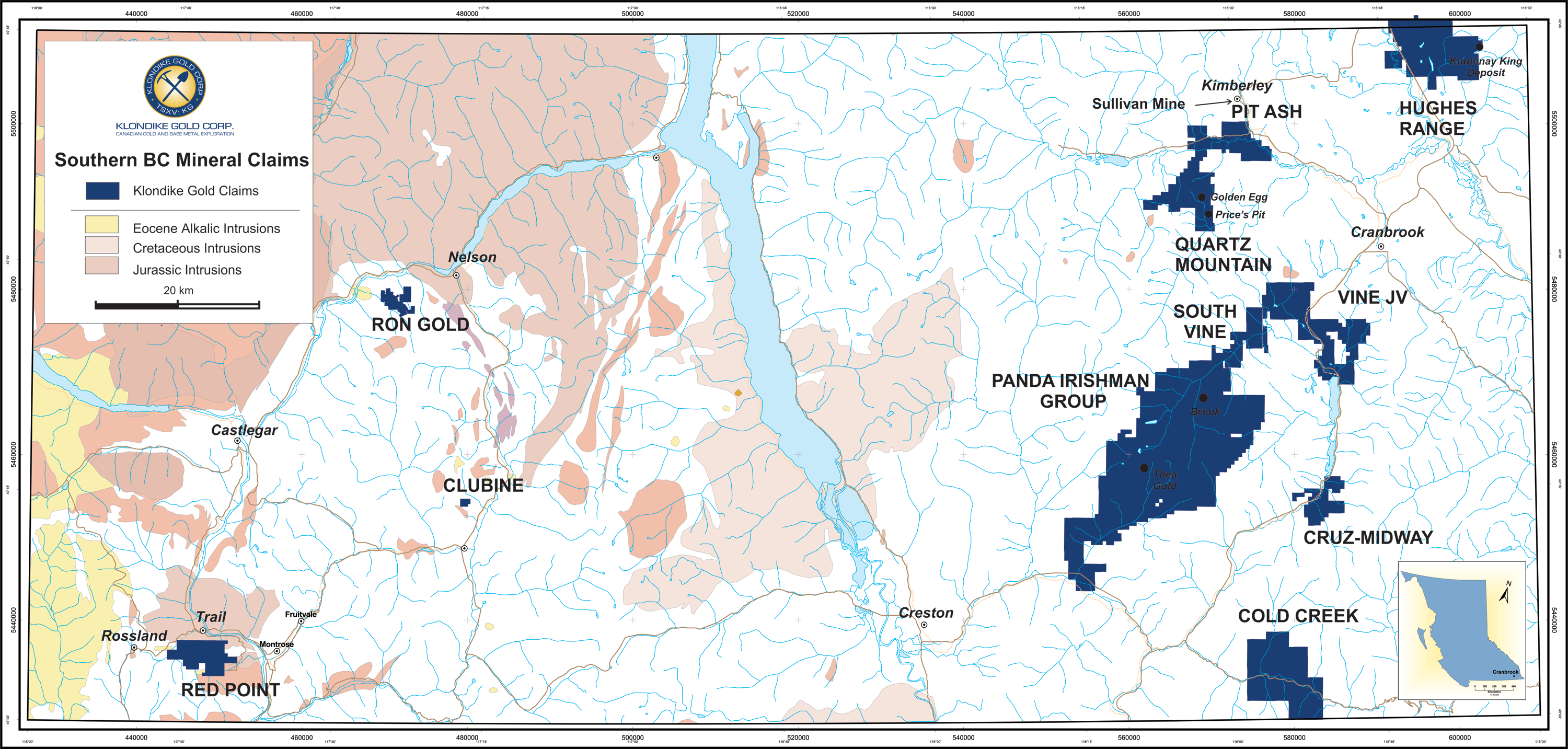
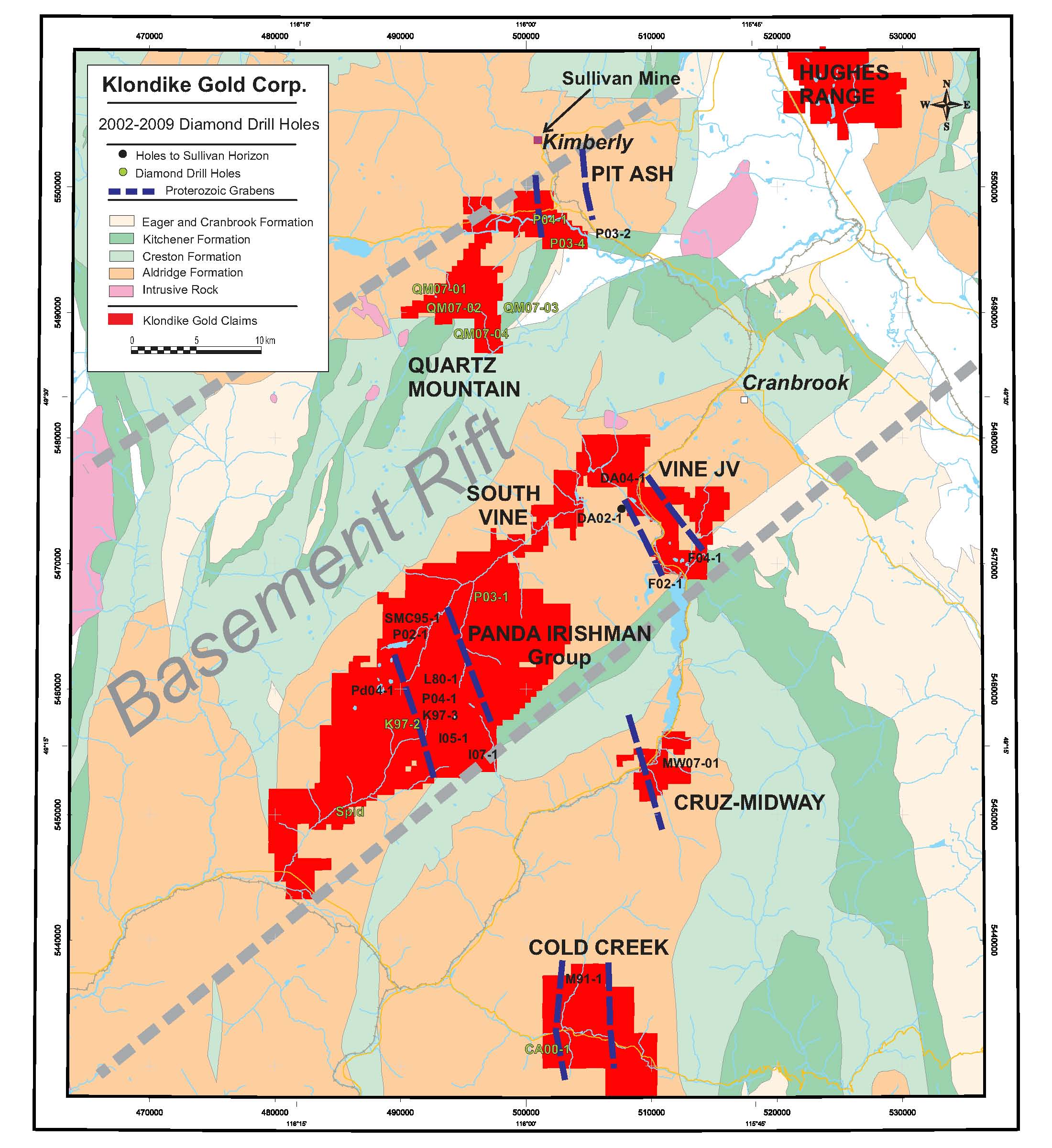
The Quartz Mountain property straddles a major east-trending fault, the St. Mary fault, and several smaller northeast trending faults. The claim area includes several small high-grade past producing veins called Prices Pit and Golden Egg. Recent exploration focused on an IOCG (iron oxide copper-gold) target, recognising widespread chlorite, silica and sericite alteration, as well as several zones of disseminated and brecciated hematite. Gold occurs in several very high grade veins, in felsic dykes and copper is associated with the hematite breccias as well as in many small fractures and veinlets.
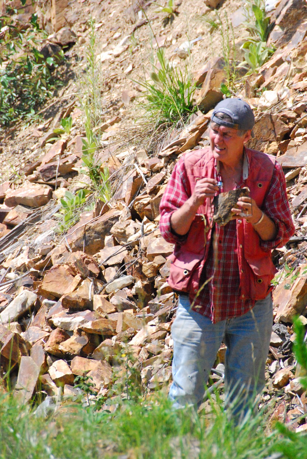
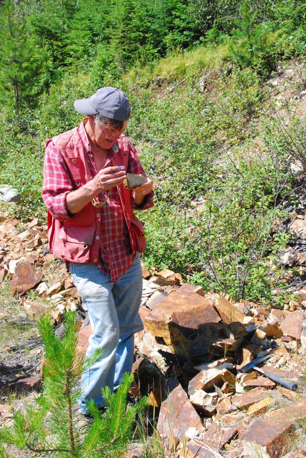
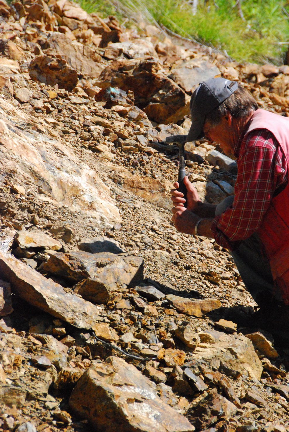
Exploration included prospecting, mapping and relogging 2007 drill core. Prospecting found an extension to Price’s Pit mineralization as exposed by a road cut some 200 m from known Price’s Pit mineralization and further alteration above Golden Egg. Some alteration looks as though it may be intrusion related as opposed to IOCG type. Discussions are ongoing within the Klondike Gold technical team and consultants as to the nature of mineralization and alteration, but the property remains a priority in British Columbia.
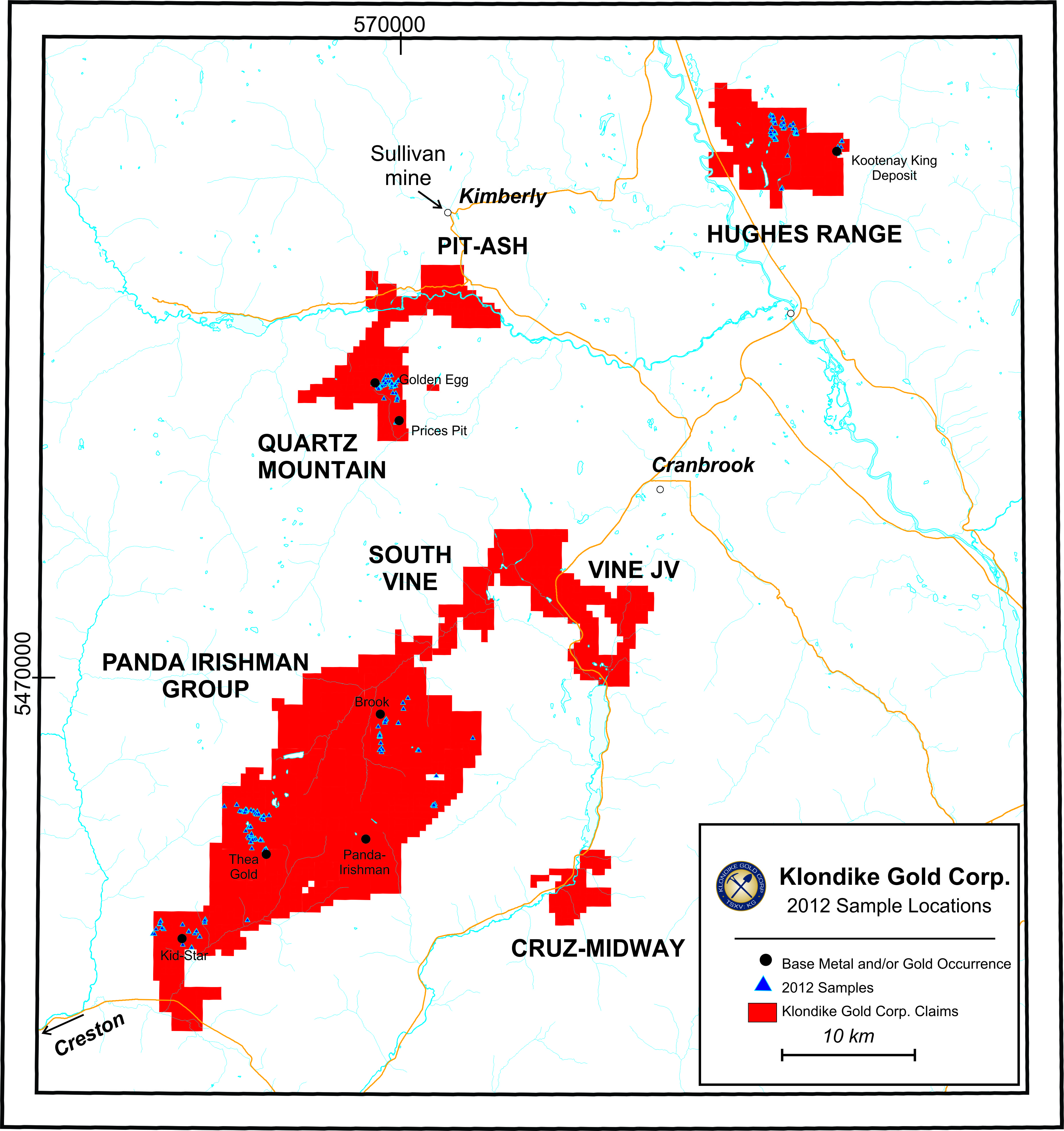
Considerable historical work has been done to date, particularly on the high grade Price’s Pit, Quartz Mountain (Rice), and Golden Egg where extraction yielded approximately 2000 ounces of gold. The current claims encompass most of the Sawmill Creek drainage that has seen placer production.
The following is a list of the significant work completed on the project: